
Multi-Use Trail Systems
-
Alpine Hills Trails
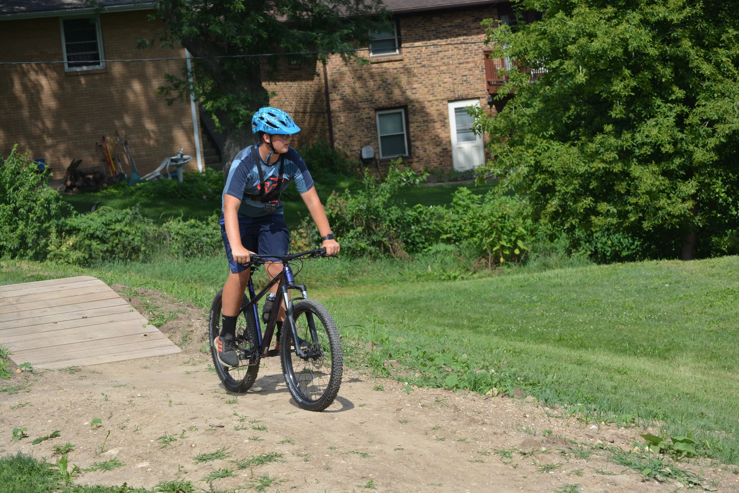
The Alpine Hills trail system offers 1.2 miles of trail starting at the clubhouse. The perimeter trail includes a ‘skills loop’ that has bike optimized features for the beginning mountain bike rider and families.
-
Atwood Trails
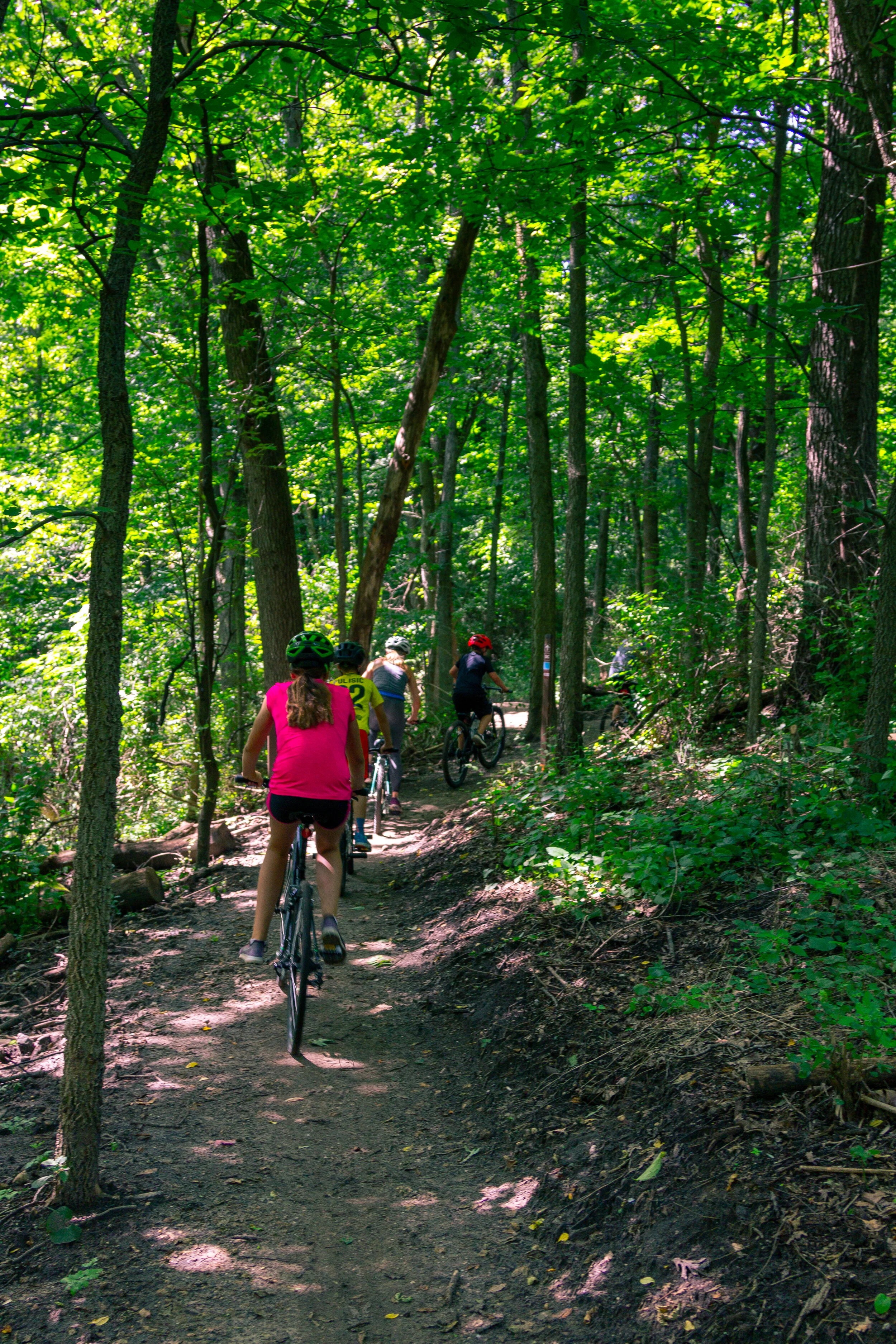
The Atwood trail system includes approximately five miles of multi-use natural surface trails for beginner and intermediate users, a parking area, trail signage, and a bike wash/repair station.
-

Anna Page Park Trails
The Anna Page Park trail system features one mile of trails for mountain bike use and five miles of equestrian trails through Anna Page Park and Lockwood Park.
Paths
Stroll, walk, jog, run, pedal, roll, or skate your way to healthy exercise on any of the area's many recreation paths. Maps of the paths in Winnebago County are available at Rockford Park District and Winnebago County Forest Preserve facilities, public libraries and area bike shops.
Major Paths
Cherry Valley Path
1.43-mile path
Between Swanson Pkwy. and Valley Woods Dr. in Cherry Valley
Mel Anderson Memorial Path
3.0-mile path
Along Kent Creek between Talcott-Page and Lockwood parks
Mercyhealth Sportscore Two Path
0.59-mile path
Connects Mercyhealth Sportscore Two to the northeast branch YMCA and Rivets Stadium
Rock River Recreation Path
10.0-mile path
Rock River north from Davis Park to Machesney Park Mall area
Major Paths in Neighborhood Parks
The following park paths are in residential areas, so please be courteous if parking along the street.
Dahlquist Park – 0.43-mile walking path
Landstrom Park – 0.75-mile paved path
Brown Park – 0.5-mile paved path
Wantz Park – 0.5-mile path
Mulford Crest Park – 0.46-mile paved path
Levings Park – 1.3-mile paved roadway
Haight Park – 0.32-mile path
Midway Village Museum Loop – 1.4-mile path off Guilford Rd.
Partner Paths
The Rockford Park District is also a partner in other paths, many of which are part of the 525-mile Grand Illinois Trail.
Perryville Path – 14.9-mile path following Perryville north from Home Depot to Rock Cut State Park
Charles Street Community Path – 1.7-mile path on the south side of Charles Street between Quentin Dr. and Perryville Rd.
Willow Creek Path – 1.57-mile path along Willow Creek connecting Harlem High School and Rock Cut State Park
Rock Cut Path – 1.25-mile path extends Perryville Rd. to the Pierce Lake Dam; continues east for 2.3 miles on park roads to Olson Beach
Path Etiquette
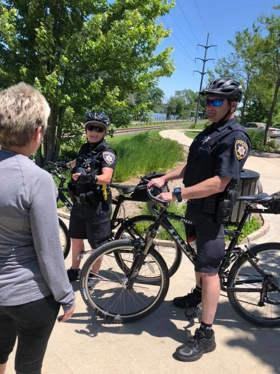
For the safety and enjoyment of everyone using the paths, please follow these simple rules of common courtesy:
Slower traffic should stay to the right. Pass only on the left, and only when your line of vision is unrestricted.
Please leave room on the path for others to pass. Single file is the best procedure for groups of people on busy days.
If you walk your dog on a path, keep it on a short leash at all times. Always clean up after your dog. Some preserves and nature areas prohibit dogs, so check regulations.
Please use the trash and recycle bins - don't litter.
Bicyclists should always ride on the right-hand side of the path except when passing on the left from behind. A polite call of "passing on your left" can help warn others of your approach.
Bicyclists should always ride under control and watch their speed.
Class 1 and Class 2 e-bikes are allowed on designated recreation and multi-use paths. Riders must follow speed limits, yield to others, and stay off restricted areas.
-
Regional Paths & Trails
-

Greenways Plan